Difference between revisions of "Case Studies/GinkgoMaps"
m |
|||
| Line 1: | Line 1: | ||
{{Case Study | {{Case Study | ||
| − | |Description=The [http://www.ginkgomaps.com/ GinkgoMaps project] currently includes more than 1200 digital maps of individual countries, continents and the world. All maps are available in high resolution and printable quality. | + | |importance=Medium |
| − | + | |quality=B-Class | |
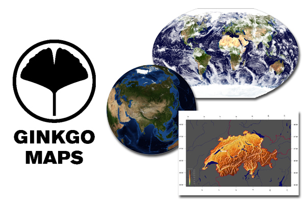
| + | |Description=The [http://www.ginkgomaps.com/ GinkgoMaps project] currently includes more than 1200 digital maps of individual countries, continents and the world. All maps are available in high resolution and printable quality. | ||
|Mainurl=http://www.ginkgomaps.com/index_en.html | |Mainurl=http://www.ginkgomaps.com/index_en.html | ||
|Author=Dirk Benkert | |Author=Dirk Benkert | ||
|User_Status=Creator | |User_Status=Creator | ||
|Tag=maps, mapping, education, geoscience, science, business | |Tag=maps, mapping, education, geoscience, science, business | ||
| − | | | + | |License_short_name=CC BY |
| − | | | + | |CC_adoption_date=2009 |
|Format=Image | |Format=Image | ||
|Country=Germany | |Country=Germany | ||
Revision as of 19:01, 19 November 2010
—
License Usage
GinkgoMaps are licensed under the Creative Commons Attribution 3.0 License, which only requires the user to link back and cite the GinkgoMaps project.
So far, tracking offline usage of the maps, e.g. in print products, is difficult.
Motivations
Maps are an essential part of our culture, science and education. Maps shape the way we experience our world and they are a great way of quickly illustrating and communicating spatial information. Still the usage of most the maps found on the internet is restricted by copyright.
So the GinkgoMaps project offers free maps for everybody to use in whatever way it contributes to their lives, education or work.
Impact
GinkgoMaps are already used in a variety of ways, e.g. as icons and graphics on web pages to illustrate geographical places and as large-scale design elements in print products.
Technical Details
All maps are rendered using the Generic Mapping Tools (GMT) in a combination with several other unix tools.


